Levelling in Engineering Survey
Definition:
Levelling is the most widely used method of obtaining the elevations of ground points relative to a reference datum and is usually carried out as a separate procedure to those used in fixing planimetric position. The basic concept of leveling involves the measurement of vertical distance relative to a horizontal line of sight. Hence it requires a graduated staff for the vertical measurements & an instrument that provides a horizontal line of sight.
Types of Levelling Survey are:
- Precise or Geodetic Levelling
- Ordinary or Simple Levelling
Methods of Levelling
Methods of levelling may be direct e.g.
- Simple Levelling
- Differential Levelling
- Profile Levelling
- Cross Sectioning
- Reciprocal Levelling
- Precise levelling
- Check Levelling
- Fly Levelling
Or may be indirect e.g
- Trigonometric Levelling
- Barometric Levelling
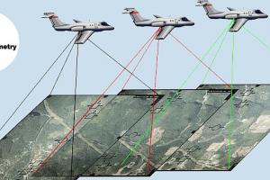
- Hypsometry
Levelling procedures
(a) Setting up
-
Backsight and foresight distances should be approximately equal to avoid any errors due to collimation, refraction or earth curvature.
-
Distances must not be so great as to not be able to read the graduations accurately.
-
The points to be observed must be below the level of the instrument, but not lower than the height of the staff.
(b) Elimination of parallax
-
Parallax is the apparent movement of the image produced by movement of the observer's eye at the eyepiece.
-
It is eliminated by focusing the telescope on infinity and then adjusting the eyepiece until the cross-hairs appear in sharp focus. The setting will remain constant for a particular observer's eye.
(c) Booking
-
Level books or loose-leaf levelling sheets shall be numbered and indexed in a register.
-
Details of the site, work, date, observer, chainman, booker, weather, wind, instrument and any other relevant items shall be entered.
-
Enter the first observation (which is on a known point) in the Backsight column, and sufficient detail in the Remarks column to identify it. Enter the point's R.L. zero from the site register or plate on the BM, etc.
-
Enter all other points on subsequent lines as intermediates except the point chosen as the foresight. Identify them in the Remarks column as above. Enter the foresight on a further line in the Foresight column.
-
Change the instrument to the next setup. Enter the following backsight on the same line as the previous foresight but in the Backsight column.
-
Repeat the above procedure at each setup on the outward run then reverse it to work back to the starting point on the return run. The furthest point out is treated as for all other change points.
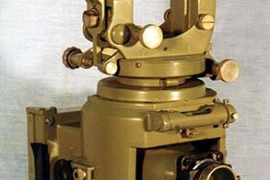
Types of Levels - Instruments used for Levelling
a. Builder's/Engineer's Level:
As implied by the name, these are used by builders and engineers. Their design is basically as described earlier, and they use graduated staffs in which the smallest graduation is 1cm. Millimeters must be estimated, and the accuracy of a single reading will be about 2-3mm.
b. Digital Level:
This type of level uses a special bar-coded staff. The image of the staff passes through the objective lens and then via a beam splitter to a photo detector array, where it is digitized. The microprocessor compares this image to a copy of the bar code and calculates the staff reading, which is displayed and/or stored. The sensitivity of the device is such that single reading accuracy of 0.2mm to 0.3mm can be achieved, and sight lengths can be extended up to 100m.
c. Precise Level:
This is a modification of the conventional level in which a parallel plate micrometer is placed in front of the objective lens. This allows the image of the staff graduation to be moved up or down by very small measurable amounts. For sight lengths of under 50m, single reading accuracies of 0.02mm to 0.03mm can be achieved.


