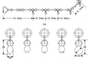
Civil Engineering Surveying

Definition
The process of determining by measurement, the relative positions of points above, on, or beneath the earth surface, in order to produce map or plan (which shows feature of the surface) in horizontal or vertical plane. The Term surveying refers to those measurements or operation, which deal in production of map or plan in horizontal plane.
Or
Surveying is the science of measuring and representing natural and artificial features on the ground in a limited area, regarding the earth as flat.
Leveling
- The art of determining the relative heights or elevation of different points on the surface of earth.
- Determining position of points in vertical plane.
Surveying and leveling are considered as distinct operations, however in broad sense, the term surveying includes leveling.
Objectives of Survey
The Primary objective of survey is the preparation of plan and map of an area. The result of survey in the form of data when plotted and drawn on paper, we get a plan/map. If the scale is large it is called Plan. E.g. Plan of a Building, say 1:100. If the scale is small, it is called Map. E.g. Map of Pakistan, say 1:25,000
Why Should We Study Surveying?
You may be required to perform simple surveying operations (particularly if you're employed in construction company and Local Gov.), or you will need to discuss your needs with surveyors. Every Engineer needs surveying skills
Parts of Surveyor’s Work
- Decision making (selecting techniques and equipment, etc.)
- Fieldwork (data acquisition)
- Data processing (calculations to give locations, areas, volumes, etc.)
- Mapping (maps, plans, charts)
- Reporting (conclusion of the task)
Principle of Surveying
- To work from the Whole to the Part, not from the part to the Whole. e.g. set out the main frame first, and add details onto the frame. Object of this system is to prevent accumulation of errors and to control and localized minor errors.
- To Fix Position of New point (Station) by at least two independent processes. New Station can be fixed from points already fixed
By
- Linear measurement
- Angular measurement or
- Both