Video on Method of Terrestrial Photogrammetry
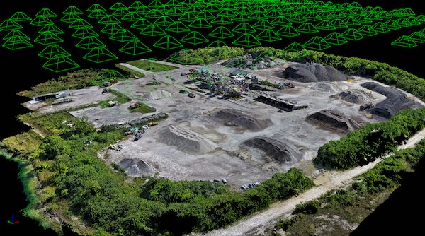
Terrestrial Photogrammetry
The principal is exactly similar to plan table surveying, it may be stated as “The position of the object with ref to the base line is given by the intersection of the rays drawn to it form each end of the base line” In plane tabling most of the work is executed in the field while in this method it is done in the office.
|
Related topics: Types of Surveying, Aerial Photography Tools , River Survey, Errors in Levelling |


