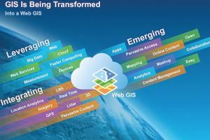
Integration of GPS and GIS for use in Urban Planning
GPS are becoming very effective tools for GIS data capture. The GIS user community benefits from the use of GPS for location data capture in various GIS applications. The GPS can easily be linked to a laptop computer in the field, and with appropriate software. Thus GPS can help in several aspects of construction of accurate and timely GIS databases. GIS is about
Scope of GIS Project Management & Planning
determine who are the stakeholders/users help the client to understand the capabilities of GIS determine what the client’s goals or what they “need to know” begin to identify background resources and data sources. Many functions are shared between different department, thus implementing GIS projects across multiple departments make sense (MPLIS chapter 16 describes the Enterprise GIS project)
Applications of GIS in Civil Engineering
Transportation Watershed analysis Remote sensing Wastewater, stormwater and Solid Waste Management